Feeling the squeeze on housing options in Baltimore County? You are not imagining it. A simple line on the county map does a lot of heavy lifting in where homes can be built, which types get approved, and how fast they arrive. That line is the Urban‑Rural Demarcation Line, or URDL. In this guide, you will learn what the URDL is, how it affects utilities and zoning, and what it means for your buying or selling strategy. Let’s dive in.
URDL at a glance
The URDL is a planning boundary created in 1967 to guide where urban growth should go and where rural lands and watersheds should be protected. It focuses public investments like water, sewer, and roads inside the line and limits suburban sprawl outside of it. You can see that history in the county’s planning materials on the master planning history page.
County materials often describe the geography this way: about one‑third of the county’s land lies inside the URDL and holds the vast majority of residents, while about two‑thirds sits outside with a smaller share of the population. That simple split concentrates where most new housing can realistically be built. To check a specific property, use the county’s URDL GIS layer.
How the line shapes development
Utilities and infrastructure
A major effect of the URDL is where public water and sewer service is provided. Inside the line, areas are set up for public utilities and higher‑intensity development. Outside the line, most homes rely on private wells and septic systems, which limits density and adds cost to development. You can learn more about the link between watersheds and infrastructure on the county’s environment and watersheds page.
Zoning rules
Zoning mirrors the line. Outside the URDL, Resource Conservation zones (like RC2, RC3, RC4) restrict subdivision and keep density low. Inside, Density Residential and urban zones allow a mix of single‑family, townhome, multifamily, and mixed‑use options, depending on the exact district. The county’s 2024 Comprehensive Rezoning resources outline these categories on the CZMP hub.
Who can change it
Changes to the URDL flow through the county’s planning process. The Planning Department and Planning Board prepare recommendations, and the County Council has the authority to act. Recent politics matter too. In April 2025 the council narrowly voted to limit “councilmanic courtesy” in certain URDL decisions and to adjust who can block or approve line changes, a shift that could lead to a charter amendment on the 2026 ballot, as covered by local reporting.
What it means for housing supply
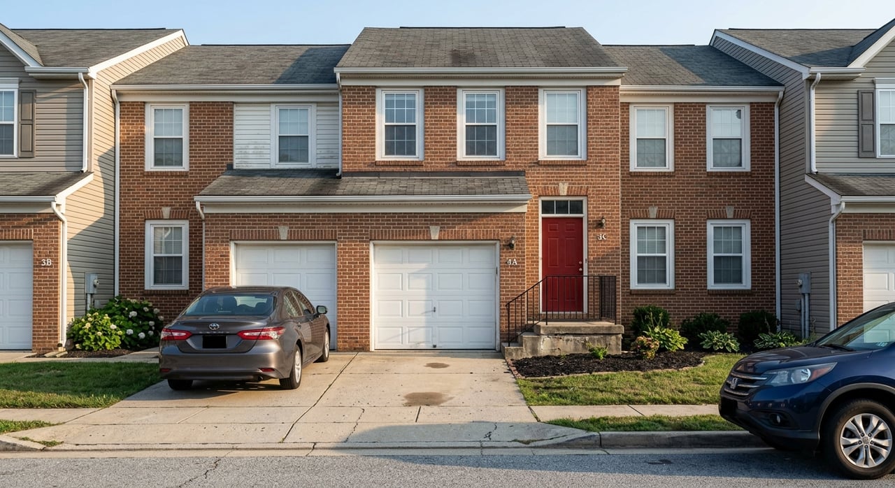
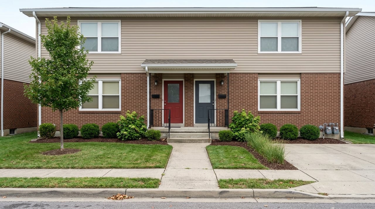
Inside the URDL: dense and competitive
Inside the URDL is where public utilities, urban zoning, and transit access make larger‑scale housing possible. Because most people already live here and open land is scarce, much of the supply comes from infill, redevelopment, and rezoning. County plan history highlights this growth focus on town centers and urban nodes in the master plan record.
The numbers show the pressure. In 2024, Baltimore County produced 562 new housing units, while the Housing Indicator Tool estimates the county needs about 1,554 units per year to meet demand. That gap adds to tight inventory and price pressure inside the line. See the data on the Housing Indicator Tool.
Outside the URDL: preserved and limited
Outside the line, rural zoning and the lack of public utilities preserve farmland and protect critical watersheds like the reservoir system. Those protections are by design and shape the county’s landscape, as summarized by local land‑preservation resources such as the Valleys Planning Council. The tradeoff is straightforward: removing large areas from intensive development concentrates demand on a smaller urban footprint.
Timelines and approvals
Even inside the URDL, many projects require rezoning, Planned Unit Development approvals, or other discretionary steps. These processes can add time, cost, and uncertainty, which slows delivery. You can track how zoning categories shift during countywide cycles on the CZMP hub.
Action steps for buyers and sellers
- Buyers: Confirm whether a target home is inside or outside the URDL and whether it connects to public water and sewer. Expect more competition for listings and more attached or multifamily options inside the line. If you want acreage or a well‑and‑septic setup, you will mostly look outside the line.
- Sellers: Inside the URDL, highlight access to utilities and nearby centers, which typically support demand. Outside the line, lean into land attributes, privacy, and stewardship, and be ready to provide well and septic details.
- Investors: Focus on infill or value‑add sites inside the URDL, especially locations near town centers with existing infrastructure. Track CZMP cycles for rezoning opportunities and follow council actions that could change approvals.
How to check a property
- Use the county’s URDL GIS layer to verify if a parcel sits inside or outside the line.
- Review the parcel’s zoning category to understand allowed uses and density.
- Confirm utility service with county resources or records, since water and sewer access drive what is feasible on a site.
The road ahead
Maryland leaders are paying close attention to housing production and affordability, adding pressure on local systems to streamline where possible. For context, see state and regional coverage of efforts to increase housing supply in recent reporting. Locally, the 2024 comprehensive rezoning cycle and evolving URDL governance signal that rules can change, which is why you benefit from timely guidance.
If you are weighing a move, sale, or investment in Baltimore County, you deserve advice rooted in local policy and on‑the‑ground market know‑how. Reach out to Dennis Thomas for a clear plan tailored to your goals.
FAQs
What is Baltimore County’s URDL?
- It is a planning boundary created in 1967 that directs urban growth and public infrastructure inside the line and preserves rural resources outside.
How does the URDL affect water and sewer access?
- Inside the line, areas are planned for public water and sewer; outside, most properties rely on wells and septic, which limits density and adds cost.
How does URDL status influence property value?
- Inside the line often means more services and buyer demand, while outside the line values hinge more on land and rural features; tight supply inside the line can add price pressure.
Can a rural lot be subdivided for townhomes?
- Generally not; rural Resource Conservation zoning and lack of public utilities restrict higher‑density formats outside the URDL.
Who decides changes to the URDL?
- The Planning Department and Planning Board recommend changes, and the County Council acts; recent votes adjusted how those decisions are made and may lead to a future ballot measure.
Where can I verify if a property is inside the URDL?
- Check the county’s parcel‑level maps and the URDL GIS layer, or contact the Planning Department for confirmation.